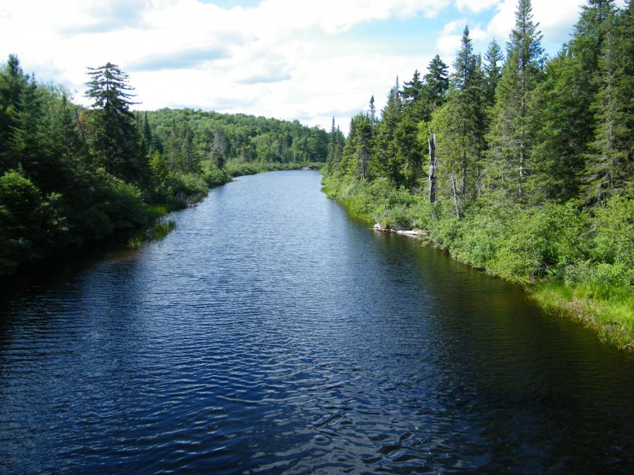
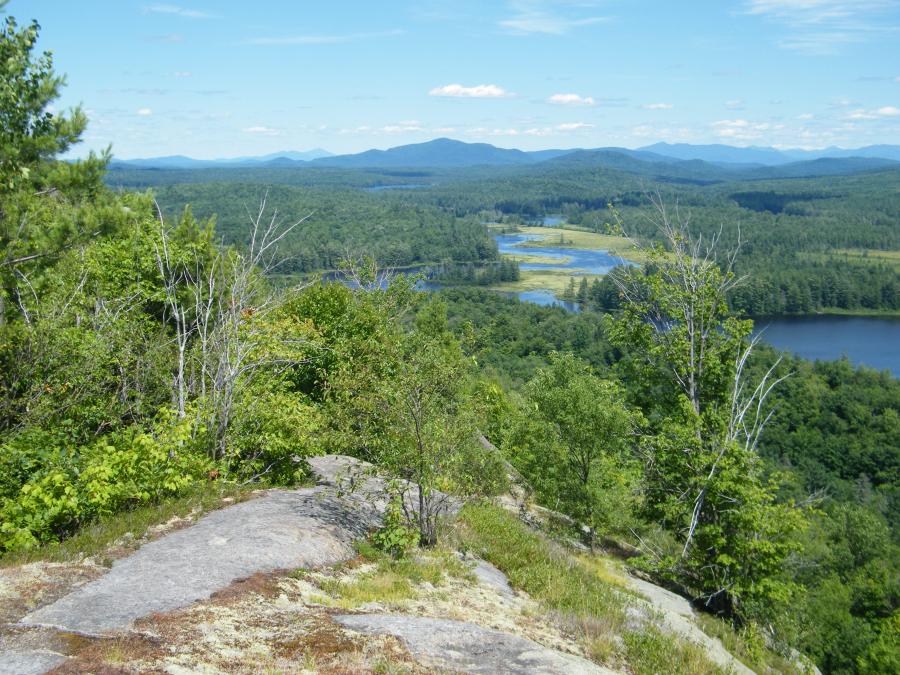
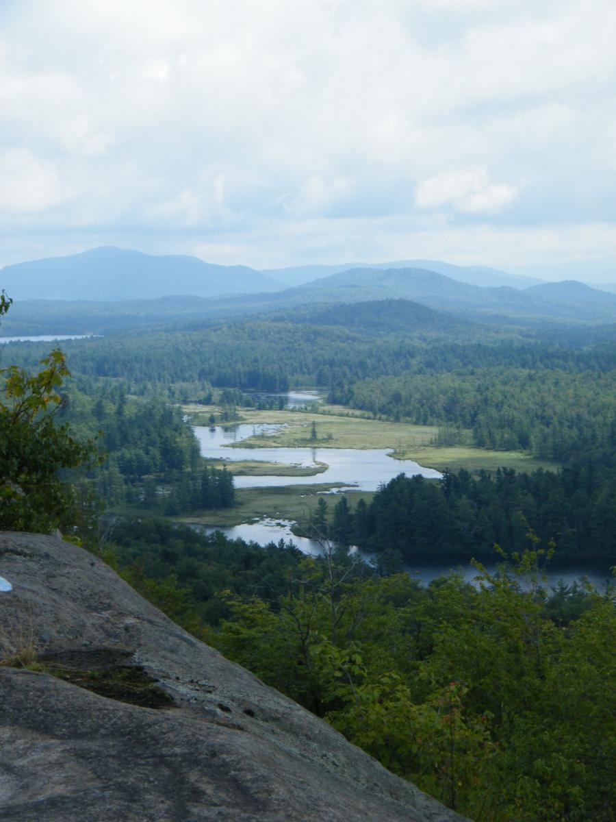
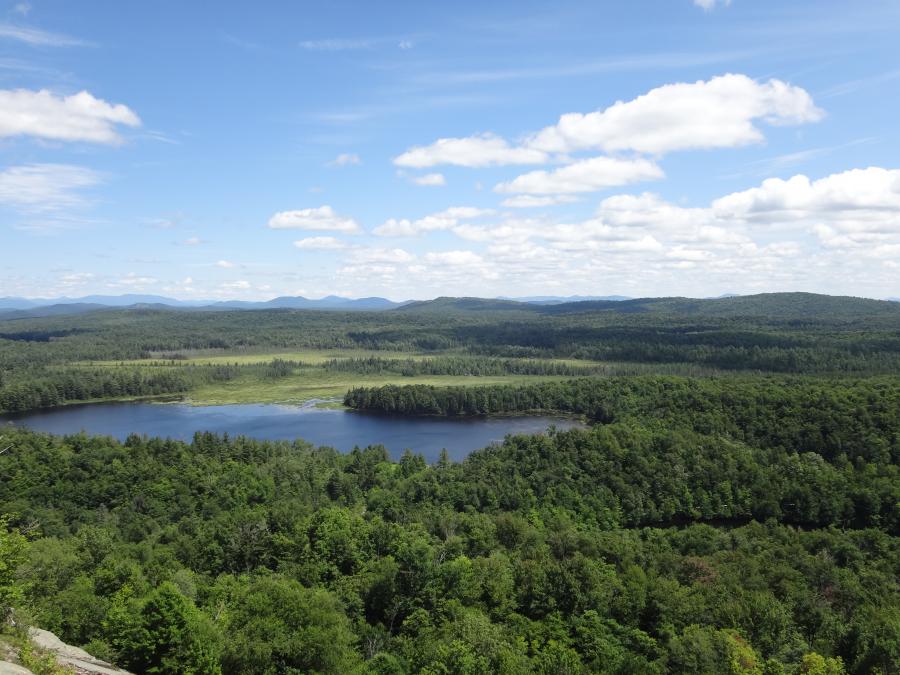
This has become a relatively popular wilderness trip. There are three possible day hikes from this route to low mountains that provide great views over the canoe route. These include Frederica Mountain, Grass Pond Mountain and Low's Ridge. The longest portage on the route is about 1 mile. The portage to Harrington Brook is rough, and it should be noted that the railroad IS active, so be cautious and watch for trains.
The best map for this trip is the Whitney Wilderness Map
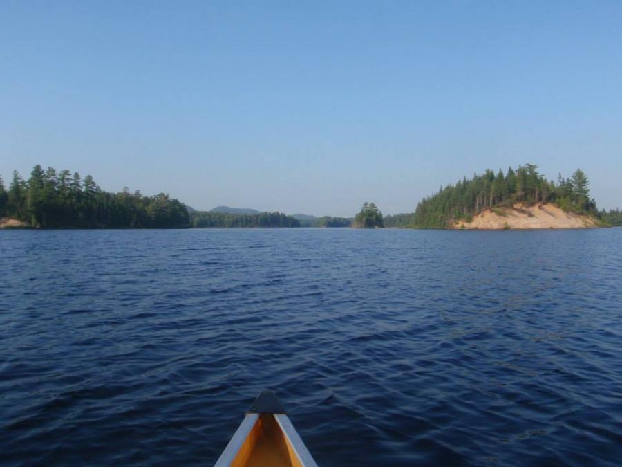
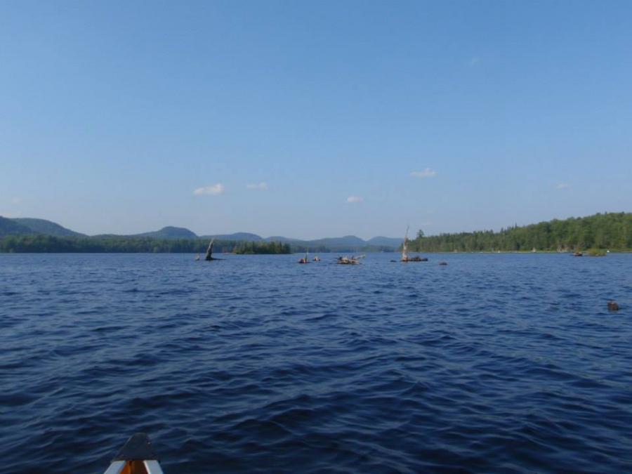
The map image above is strictly for the purpose of providing a visual of the canoe route. It is not intended for directional purposes.